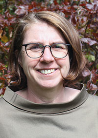
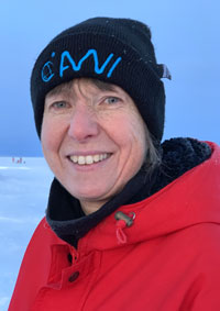
Lecturers: Vera Schlindwein
Generic Mapping Tools GMT is a freely available modular scripting language for processing and visualising geoscientific data sets, also as part of automated workflows. GMT is therefore very popular in the geosciences. The course provides an introduction to the scripting language and is intended to enable students to work independently with GMT. As part of the course, simple topographic maps are created and different data sets such as grids, lines or point data are visualized. Special attention is paid that the illustrations fulfil the standard for theses or publications.
Basic understanding of the scripting language and creation of simple maps
Creation of an own script for map visualisation
processing of tasks
Own exercise material
Online documentation for GMT
1st Day: Basics of scripting languages. Basics of GMT. Executing pre-existing examples. Making initial changes to the script.
2nd Day: Creating and labelling a base map.
3rd Day: Plotting symbols, creating topographic cross-sections.
4th Day:
5th Day:
6th Day:
7th Day:
8th Day:
9th Day:
10th Day:
11th Day:
12th Day:
13th Day:
14th Day:
Notebook-Pool, Kartenerstellung mit GMT
Basic Data
05-BMG-GS1-5
Study Program
Bachelor Marine Geosciences
Module Name
Digital Competences
Course Type
block course (BK)
Second Year of Study
0.5 CP
0.5 SWS
Summer Term
Course Language
German and English
Contact Person

Deanery
Prof. Dr. Katrin Huhn-Frehers
MARUM2 3040R
Phone: +49 421 218 - 65860
khuhn marum.de
Deanery
Prof. Dr. Katrin Huhn-Frehers
MARUM2 3040R
Phone: +49 421 218 - 65860
khuhn marum.de
Lecturer

Polar and Marine Seismology
Prof. Dr. Vera Schlindwein
AWI 1428R
Phone: +49 471 4831 - 1943
vera.schlindwein awi.de
Polar and Marine Seismology
Prof. Dr. Vera Schlindwein
AWI 1428R
Phone: +49 471 4831 - 1943
vera.schlindwein awi.de
