05-MAG-PG1 Advanced Geological Mapping
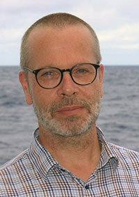
Representative Wolfgang Bach
This module is to advance your geological mapping skills.
The independent mapping of an area of 5-6 square kilometers in the Dill syncline (Rhenish Slate Mountains) is the core of the module. Basics of sedimentology, stratigraphy, petrology, tectonics and paleontology will be brought ot bear in the mapping exercise. In teams of two, a geological map sheet is prepared at a scale of 1:10,000. The clarification of the bedding conditions is just as important as the clear delineation of lithological units. All results are documented in a report.
- process-oriented rock and structure analysis in space and time)
- link of own field observations with theoretical background for the development and understanding of (up-to-date) concepts in a geotectonic context
- Writing of concise reports, including geological maps, profiles, site sketches in the context of relevant literature
Course Type 1: Field Exercise (F) 6.0 SWS ( 84.0 h)
Tutorial(s): -
Workload:84.0 h presence time
56.0 h self-study
40.0 h exam workload
180 h total workload
combination exam
exam elements: 1
SL: 0
33 % field trip report
67 % field trip skills
Literature will be provided by the instructors
Basic Data
Master Applied Geosciences
Module Type
Mandatory
First Year of Study
Offering Departement
FB5 Geosciences
Wintersemester
Course LanguageGerman and English
6 CP
6 SWS
Contact

Contact
Prof. Dr. Wolfgang Bach
GEO 5340
 uni-bremen.de
Contact

Contact
Prof. Dr. Wolfgang Bach
GEO 5340
 uni-bremen.de
