05-MMG-TE1 Geophysical Surveying & Observation Technology
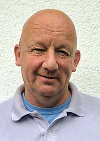
Representative Achim Kopf
The key questions and contents during the WS include: LV1: What is measured using marine technologies? What are the underlying (geo)physical principles in marine surveying ? How are surveys designed and parametrised? What instruments/sensors/technologies are utilised? LV2: For longer term observations, what systems exist in the ocean water body, on the seafloor, or below the seafloor, and how do they function? What are the pros and cons of each system? How do we process and interpret such data, and what is the future of ocean observation?
Students have a profound understanding of marine technologies and how they function
Students are well introduced to geophysical survey planning and techniques used (including practicals to plan and parametrise surveys, exercises to work on the acquired data)
Students know different observing systems in the ocean and on/below the seafloor, including the practical use to process (time series analysis) and interpret such long-term data
Students know how to use marine geophysics and technology on RV Alkor
Course Type 1: Lecture, Exercise (L+E) 2.0 SWS ( 28.0 h)
Course Type 2: Lecture, Exercise (L+E) 2.0 SWS ( 28.0 h)
Tutorial(s): -
Workload:56.0 h presence time
80.0 h self-study
44.0 h exam workload
180 h total workload
combination exam
exam elements: 2
SL: 0
50 % project exercise report
50 % written exam
Literature to be provided in the individual classes
Basic Data
Master Marine Geosciences
Module Type
Compulsory
First Year of Study
Offering Departement
FB5 Geosciences
Wintersemester
Course LanguageEnglish
6 CP
4 SWS
Contact

Contact
Prof. Dr. Achim Kopf
MARUM1 2200
 uni-bremen.de
Contact

Contact
Prof. Dr. Achim Kopf
MARUM1 2200
 uni-bremen.de
